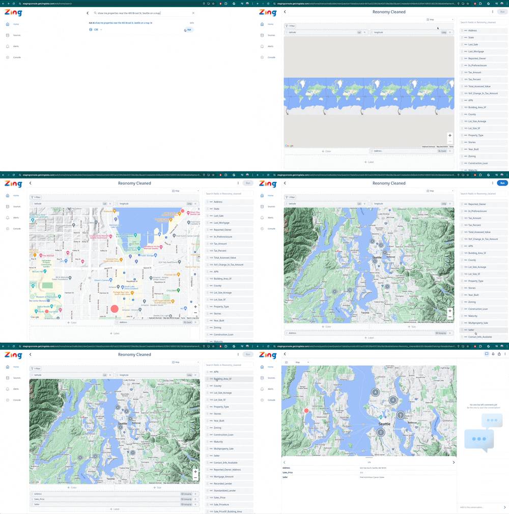
Zing now supports spatial querying simply using natural language. This lets you ask questions like:

Step 1: Connect your data source to Zing, ensuring that a field contains ’latitude’ and another field contains ’longitude’ and they are numerical type (not a string).

This is what Zing will use to calculate where locations are for a given row in your dataset.
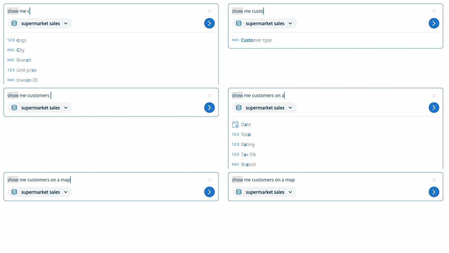
Step 2: Ask a natural language query in the search box at the top of the Zing Data app.
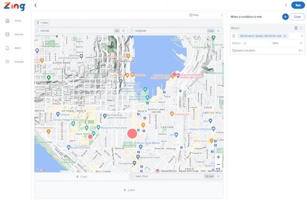
If you’d like results displayed on a map, specify that in your question. And if you’d like results only near a specific location, address, or point of interest, specify that in your question.

For instance, “show me customers on a map” or “show me a map of warehouses near 200 vesey street, nyc are in need of a restock”

Optionally, you can also specify filters on any field alongside your location query.
Step 3: Zing will show you your query result. Modify it as needed (such as applying additional filters, choosing how to size or color points on the map, or additional fields to include)
Get started for free! Sign In or create a new account.
Available on iOS, Android, and the web
Learn how Zing can help you and your organization collaborate with data
Schedule Demo